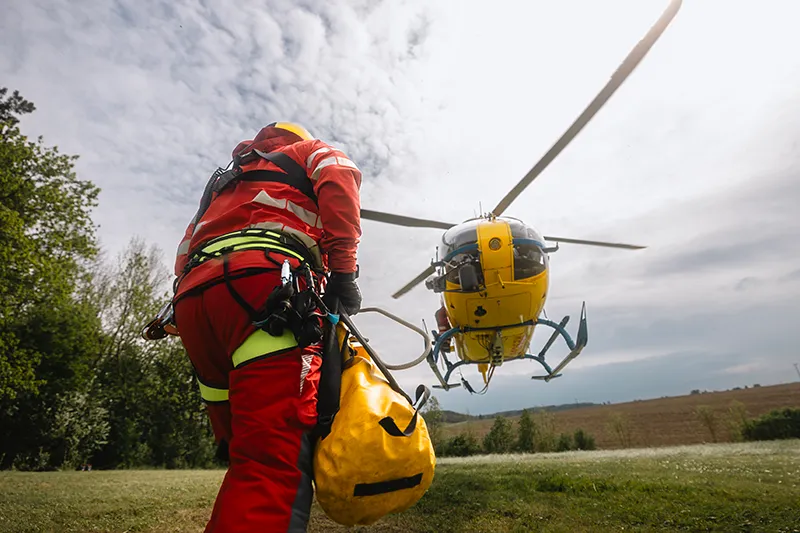
Emergency Services
Streetwave supports emergency services by delivering real-time, location-based network insights to ensure reliable connectivity during critical situations.
Mobile Signal Assurance for Emergency Responders
Streetwave delivers critical mobile signal intelligence to emergency services—including police, fire, ambulance, and resilience teams. Our platform identifies coverage blackspots along mission-critical routes and helps emergency planners verify readiness across response zones.
Whether coordinating fleet communications, mapping response corridors, or stress-testing multi-agency resilience, Streetwave gives you the clarity needed for safe, effective deployment.
We help blue light agencies operate with greater confidence, wherever the mission leads.
Why Blue Light Teams Use Streetwave
For emergency services, mobile signal isn’t optional—it’s operational. Streetwave equips blue light teams with real-world coverage data to map response routes, validate resilience, and ensure connectivity where it matters most—before, during, and after deployment.
Map Response Corridors
Visualise where mobile signal drops along regular patrol, pursuit, or transport routes.
Support Fleet Deployment
Ensure consistent connectivity for telemetry, dashcams, mobile data terminals, and navigation.
Verify Network Resilience
Compare signal performance across networks to assess fallback and redundancy.
Plan with Precision
Overlay signal data with depots, response zones, and high-priority areas.
Built for Public Safety & Coordination
Streetwave supports emergency comms readiness with:
- Independent, operator-agnostic signal data
- Corridor-grade and postcode-level visualisations
- GIS-compatible files for emergency planning platforms
- Tools for risk mitigation, event readiness, and post-incident reviews
Ready to get started?
Schedule a demo or get in touch to discuss how Streetwave can help your organisation.